The Birth of Kippen.
An update on our recent excavations at one of Scotland's most important hillforts.
Late May for me is always Kippen time and for the last four years we’ve spent a very pleasant time camping and digging at Keir Hill of Dasher which I think is one of the most important hillforts in Scotland. Now I’ll come back to that in due course but first some background!
Stirling’s oldest Road?
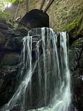
One of the little quirks of Kippen is that everyone who drives there passes over the wonderful Cuthbertson Bridge and its hidden waterfall, which makes for a very bracing shower at 6 in the morning though!
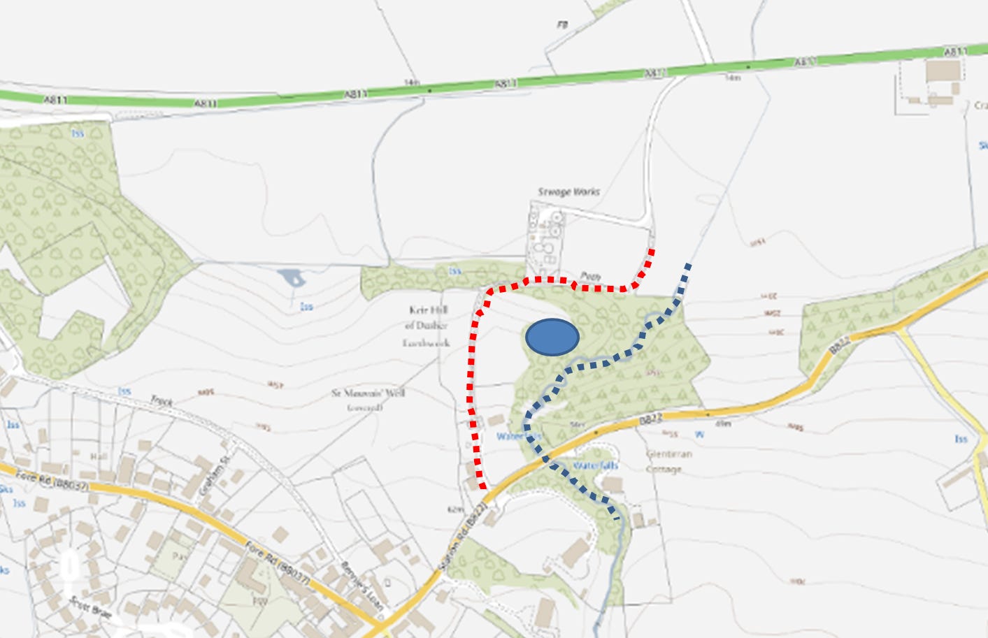
Now the bridge is very important as it crosses the Cuthbertson gorge (marked in blue below) before the bridge you have to come up the cliff and this route is a hollow way (marked in red). The wee hillfort Keir Hill of Dasher controls this route.
And here is a wee video about the route!
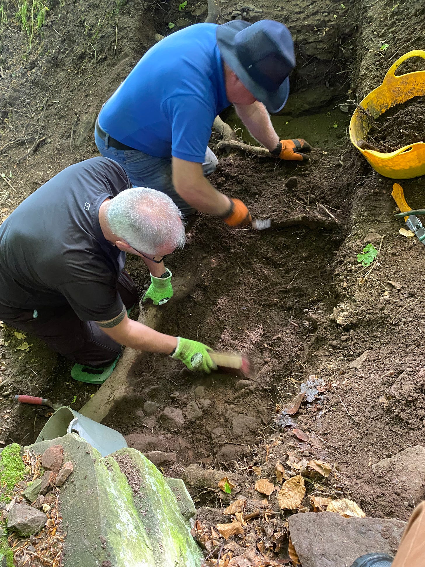
We started the dig on the hollow way but never finished it but its clearly rock cut….we’ll finish it next year!
So is this Stirlingshire’s oldest road? I think its origins could lie in the Roman Empire but there is no way to know!
Want to support us by making a one off donation?
Keir Hill of Dasher the Background
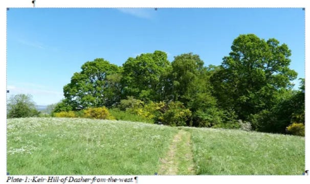
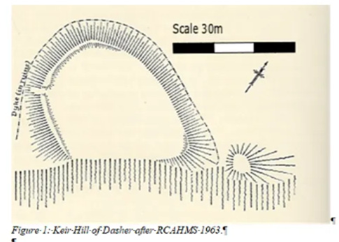
Keir Hill of Dasher (Canmore ID 45348) is a small enclosed site, sitting on the eastern edge of Kippen (NS 6534 9511). It sits on a rocky promontory on the left bank of the Cuthbertson Burn at a height of 33.5m od. It measures internally 41m from ENE to WSW by 30m transversely and is defined partly by a stony bank measuring up to 10m in width and 1.2m in height, and partly by the crest of the steep rocky bank of the burn (Figure 1). The northern section of this bank appears to have collapsed down the slope. The eastern end the bank has an external ditch which cuts off the tip of the promontory; the height from the bottom of the ditch to the crest of the bank is 4.45m, while that to the outer lip is 0.79m. At the western end, a gap in the bank is considered to be the original entrance. The site was originally surveyed by the RCAHMS (1963, 418). While the ‘keir’ placename may have older origins in ‘caer’, an old Celtic or Gaelic word meaning fort (Watson 1926, 365-369), the formulation ‘keir hill of…’ is argued by Peter McNiven (2011, 122-3) to be a 17th/18th century construct. The interior features a slowly regenerating scrubby woodland. The site is a Scheduled Monument (SM2573), though the scheduling only covers the internal bank and excludes the ditch that surrounds the site to its east, north and west.
The site itself overlooks the core of the Ford of Frew, which is generally referred to as the ‘Fords of Frew’ in secondary literature (eg RCAHMS 1963:4 and an earlier blog). Watson identified ‘the fords of Frew’ (ie several fords in the Frew area) as the ‘fords of Forthrin’ fortified by Kenneth II in the late 10th century (Watson 1926, 52-3) and this suggestion has been generally accepted by later academics. However, this assumption is based on both an aggrandisement of the Ford of Frew and a lack of understanding of the other fording points in the Forth and its floodplain of which there are several (Cook forthcoming). However, the Forth and its tributaries have restricted the flow of people and goods north south for millennia. Monitoring and control of the crossing points was clearly a key strategic aim of Early Medieval kingdoms. The Forth itself served as the frontier between Pictland (and its successor polity Alba) between c 700 and 1100.
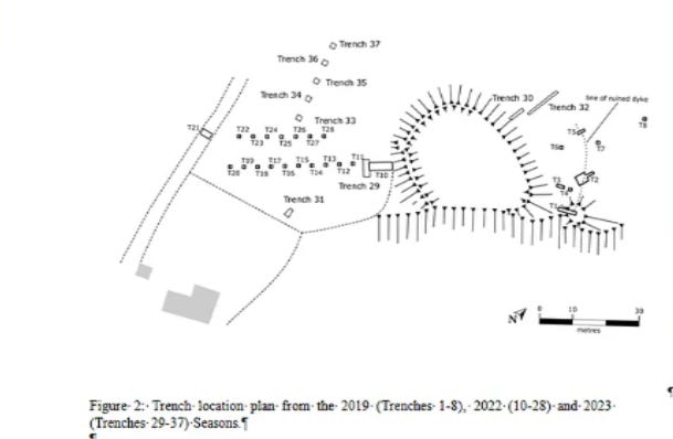
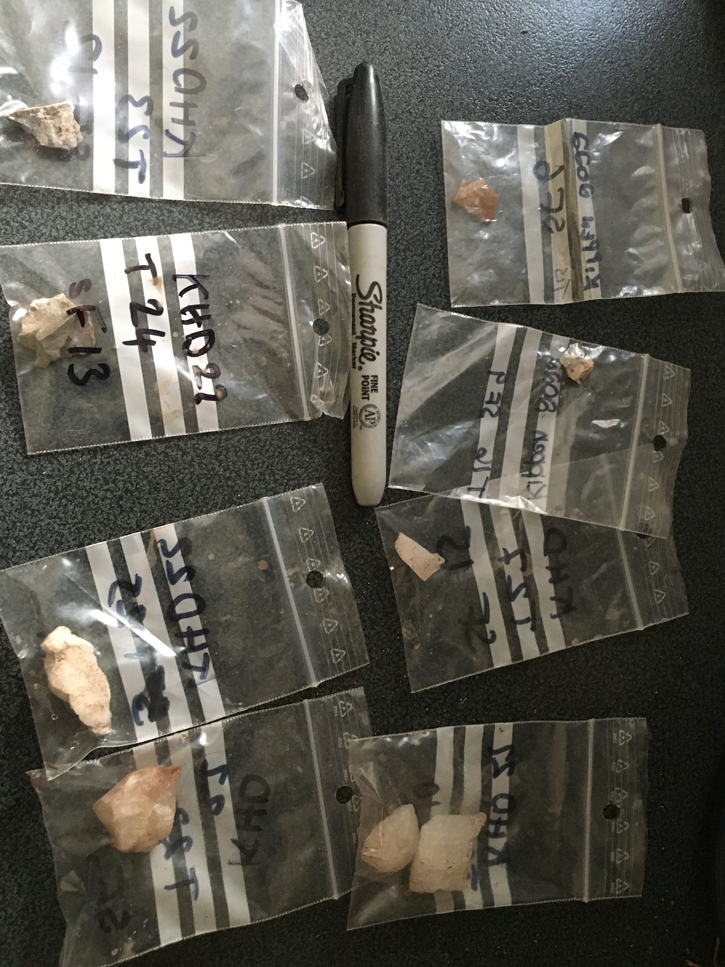
To date we have undertaken three seasons at Kippen and these have focussed on dating the enclosure. The first season in 2019 confirmed the presence of a substantial ditch charcoal from which was dated to cal AD 996-1153 (SUERC 88604). In addition a test-pit identified an early prehistoric flint knife.
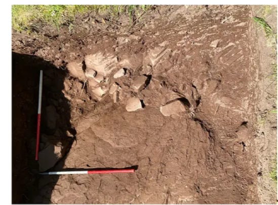
The 2022 excavation also identified a substantial rock cut ditch measuring at least 6m wide and up 1.8m deep which we assumed was the return of the ditch identified in 2019. Corylus charcoal from the ditch was dated to cal BC 24-cal AD 123, which indicates that there were at least two phases to the site. In 2023 another trench in the same location a metalled surface at the enclosure’s entrance and charcoal from this surface gave another Roman Iron Age date 84-232 AD. This season also confirmed the presence of two different ditches…one to the front and one to the rear which as indicated by the dates means two phases.
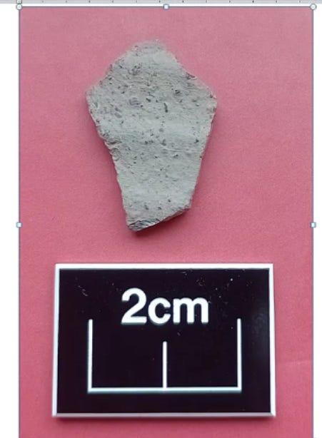
A larger trench from 2023 found the foundation of a structure outside the enclosure and from this we recovered a tiny little bit of grey white pottery……..which required a specialist report from my friend Derek Hall….one of Scotland’s leading medieval pottery specialists. Now one of the things about Scotland is that pottery almost vanishes after the Romans and reappears in the 12th century in David I’s reign.
Potsherd from Keir Hill of Dasher
Derek Hall
A single bodysherd from Trench 31 Context 3103 (SF107) in a well sorted gritty ware fabric that has a rilled surface and is probably from a Cooking Vessel. Without chemical sourcing it can prove difficult to accurately provenance such fabrics, but it seems very likely to this author that this sherd belongs to the Scottish White Gritty Ware tradition. Long regarded as Scotland’s earliest indigenous medieval fabric dating from the 12th century, production centres have been suggested to exist in the Scottish Borders, Lothians and Fife (Jones et al 2003). This bodysherd with a distinctively rilled external surface has close affinities to vessels from the Scottish Borders and may be from a straight sided cooking vessel of 12th century date (Cox, Haggarty and Hurst 1985, 381-398).
So what does all this mean?
Well first of all Keir Hill of Dasher was built when the Roman Eagles conquered Scotland and its probably designed to help control the crossing points at Frew. Looking at the broad sweep of settlement across the Forth Valley, this is one of the largest enclosures…so a very important location. The site was then refortified in the 10th-12th centuries again to control the crossing point but this time on a now lost frontier and perhaps even by Kenneth II. This fortification appears to have formed the focus of settlement outside its walls…..ie the first Kippen. I cannot overstate how important this discovery might be. We really don’t understand much about this period and most early villages and castle kept getting built on…think of the first Stirling Castle which is slightly later…..its got all of that later stuff on it which destroyed the first structures. So the site offers a unique window into the birth not just of Kippen but of modern Scotland.
Got a question?
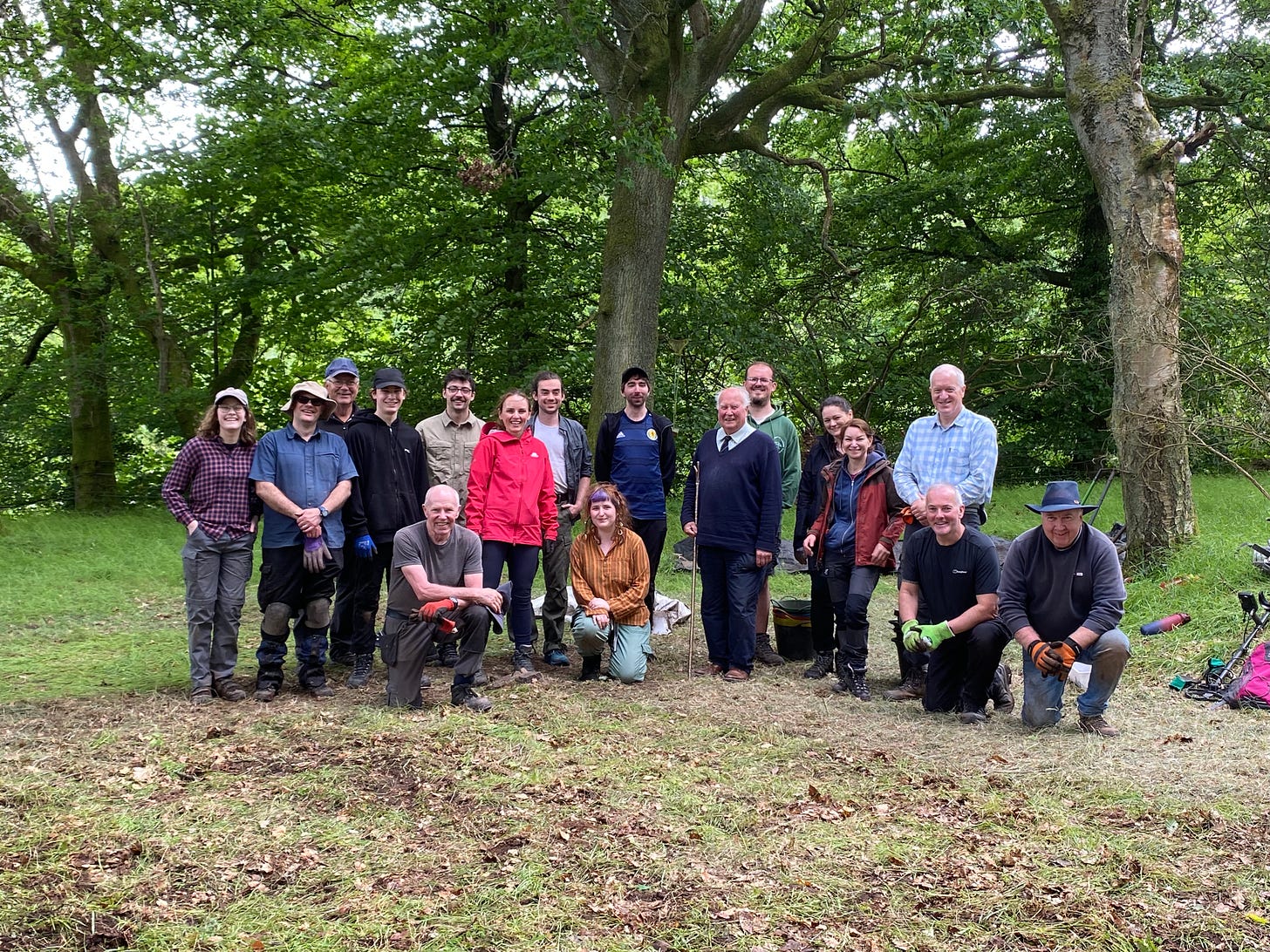
The Results of The 2024 Excavation
And here is a wee video about our most recent excavation…featuring two key volunteers!



Just so interesting. Thank you and well done to all.
Fascinating stuff, Murray.